
Dossier 04 · Geospatial Intelligence & Civil Infrastructure
Forge
Autonomous 4D BIM site audits with solid-state LiDAR.
Initialising inspection bay
Overview
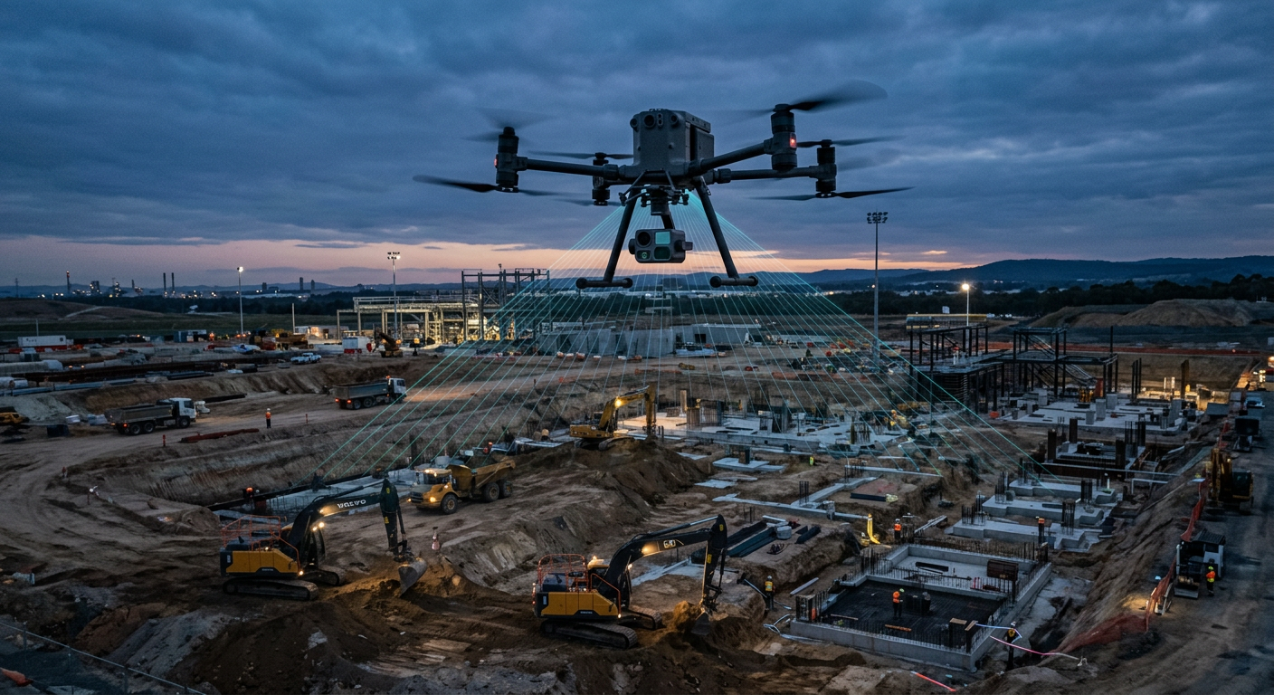
Forge flies autonomous 4D BIM site audits with an integrated solid-state LiDAR capturing 240,000 points per second, producing millimetre-accurate earthwork volumetrics and progress-versus-design comparisons.
01
240,000 pts/sec
Solid-state LiDAR for dense, vegetation-penetrating point clouds.
02
4D BIM comparison
Automated progress tracking against the design model over time.
03
Volumetrics
Millimetre-accurate cut, fill and stockpile quantities.
Technical specification
| Range | 6 km |
|---|---|
| Payload | 2.5 kg |
| MTOW | 9 kg |
| Endurance | 60 min |
| Speed | 18 m/s |
| LiDAR rate | 240,000 pts/s |
| Operating altitude | 150 m AGL |
Commercial DaaS Portal
Request a service contract or hardware quote.